The CartoGI Lab at the Department of Civil Engineering and Geomatics, Cyprus University of Technology (CUT) is equipped with a cutting-edge suite of geospatial technologies designed for advanced mapping and geovisualization of spatiotemporal events, with a focus on applications such as coastal zone evolution, environmental monitoring, and precision geospatial analysis. This state-of-the-art equipment includes:
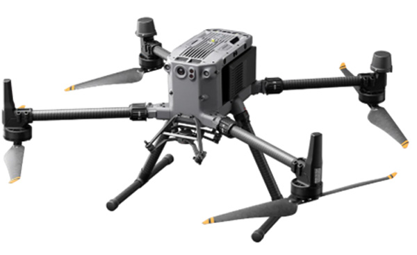
DJI Matrice M350 RTK
A versatile drone platform with enhanced endurance, weather resistance, and advanced payload integration, ideal for capturing real-time data and mapping the dynamic processes of coastal areas under varying environmental conditions.
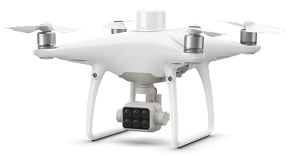
DJI Phantom P4 Multispectral
A specialized multispectral drone capable of detailed monitoring and mapping, facilitating the study of coastal vegetation, land use changes, and spatiotemporal processes affecting coastal ecosystems.
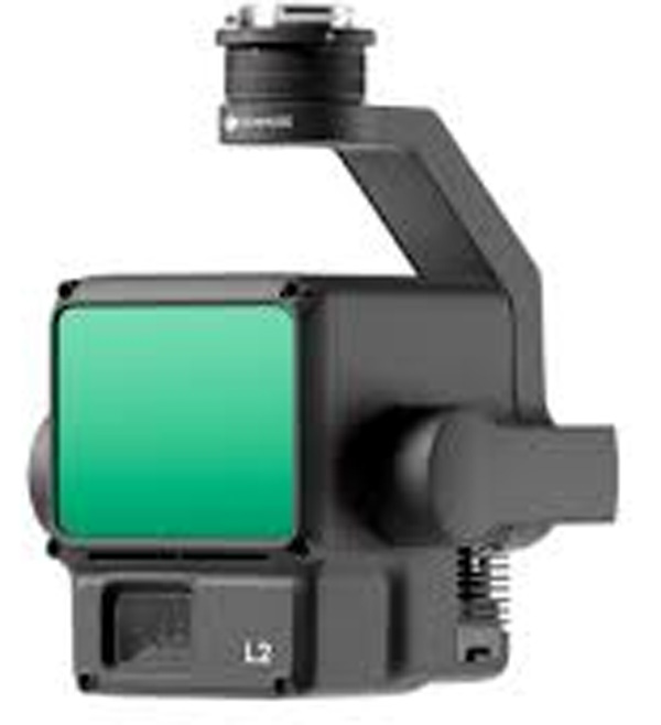
DJI Zenmuse L2
A high-precision LiDAR system offering rapid point cloud acquisition, essential for creating accurate 3D models of coastal landscapes and analyzing geomorphological changes over time, such as shoreline erosion or sediment transport.
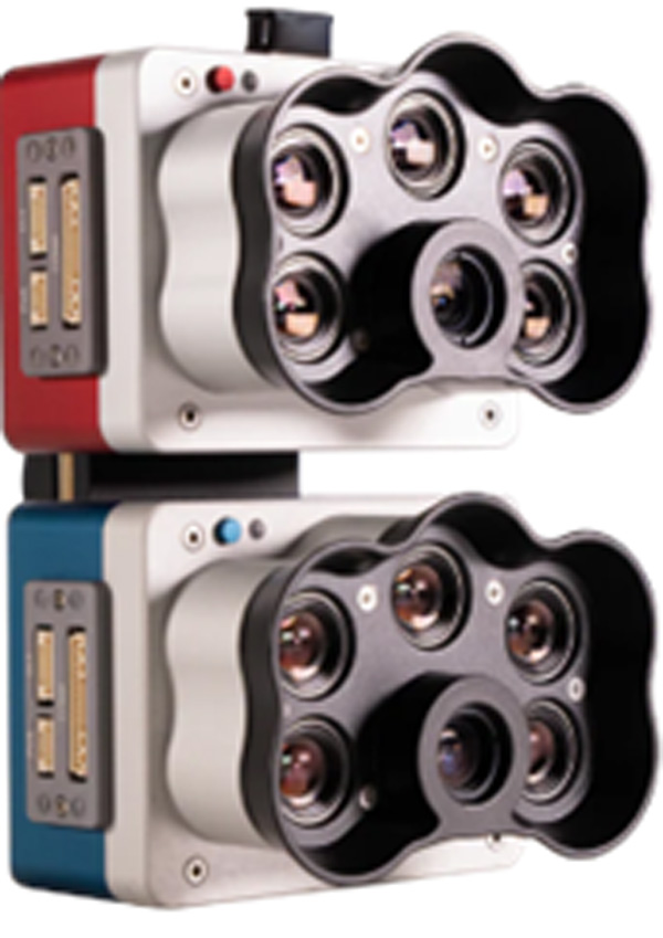
Micasense RedEdge-P DUAL
A multispectral imaging sensor with 10 narrow bands, providing precise mapping and monitoring of coastal features, including water vegetation and sediment dynamics, while ensuring data reliability through dual radiometric calibration.
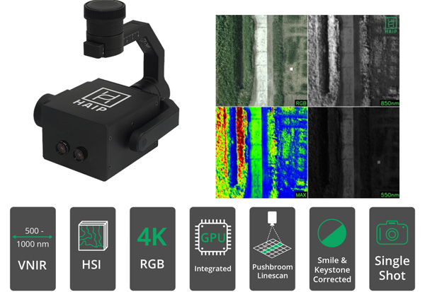
HAIP BlackBird V2 Hyperspectral Camera
A hyperspectral imaging system seamlessly integrated with DJI drones, capable of capturing detailed spatiotemporal data cubes for studying coastal zone evolution, water quality, and habitat changes.
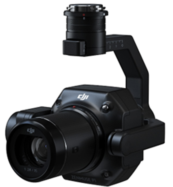
DJI Zenmuse P1
A high-resolution photogrammetry camera with a full-frame sensor, designed for large-scale mapping projects with centimeter-level accuracy, enabling precise monitoring of coastline shifts and landform transformations over time.
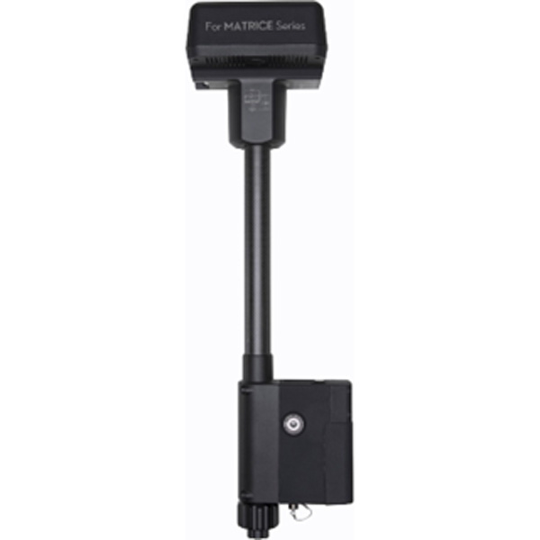
DJI D-RTK 2
A GNSS receiver that delivers real-time centimeter-level differential corrections, ensuring accurate spatiotemporal data for monitoring and visualizing changes in coastal zones.
This equipment positions the CartoGI Lab as a leading hub within the Civil Engineering and Geomatics Department at CUT, advancing the study and practice of geomatics through state-of-the-art tools and innovative methodologies.
This suite of tools enables the CartoGI Lab to advance the study and visualization of coastal zone evolution, capturing detailed spatial and temporal data to support research and decision-making. By integrating data collection, analysis, and dynamic visualization, the lab contributes to understanding and managing the complex processes that shape coastal environments, offering valuable insights into resilience, sustainability, and adaptation strategies.
