2023-2026: ARGUS Project
![]()
ARGUS: Non-destructive, scalable, smart monitoring of remote cultural treasures
Department of Civil Engineering and Geoinformatics of Cyprus University of Technology (HORIZON-CL2-2023-HERITAGE-01, €3,996,147.5).
Description:
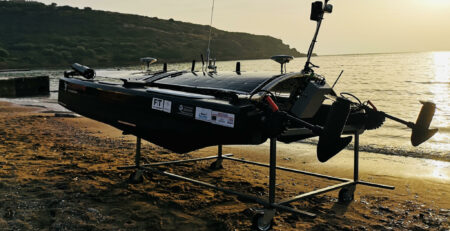
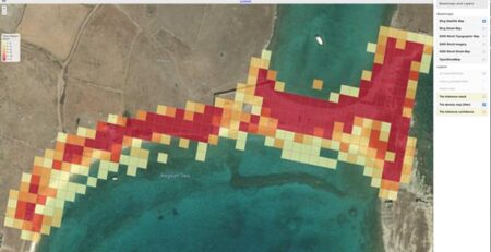
ARGUS draws on the current challenges in monitoring remote built heritage assets and the current research focus on preventive preservation, and envisions the development of (a) a novel built heritage digital twin model to support multi-scale/modal data; (b) an advanced digitization strategy to support the digital twin model; (c) a portable measurements system for non-destructive physical and chemical monitoring based on miniaturized sensors, and sensor composites integration, comprising of ground and aerial components; (d) AI-enabled methods for the modeling and identification (reverse engineer) of threat factors and their impact; (e) AI-powered multimodal data methods for the fusion of (i) remote sensing climate, weather and pollution data with (ii) natural disaster regional statistics, (iii) governmental statistics (ii) on-site acquired measurements; (f) Trustworthy AI decision support methods for the preventive preservation of built heritage. ARGUS’ innovation targets: (a) Researchers/academics: data from the ARGUS monitoring systems, long-term status processed data, the novel multimodal digital twin white paper, multidimensional/modal data visualizations, and APIs. (b) Stakeholders/heritage managers/practitioners: real-time monitoring, long-term status analysis, predictive preservation predictions, intervention decision support. (c) Authorities: real-time monitoring, long-term status analysis, predictive preservation strategies. (d) General public: real-time visualizations, crowdsourcing, and citizen contribution in preventive preservation, citizens-in-the-loop R&I design with Living Labs and Hackathons.
Research Coordinator: Dr. George Pavlides (ATHENA Research Centre).
https://cordis.europa.eu/project/id/101132308