High Precision Survey of Ports
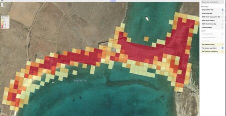
The constant technological evolution in Computer Vision and Unmanned Aerial Vehicles (UAVs), as well as the miniaturization of sensors, may lead to surveys with high-quality spatial information and products for several applications. The use of UAV systems for High Precision Survey of coastal areas is not only a flexible and attractive solution to produce accurate and high qualitative spatial data and geo visualizations but also is a significant contribution to cost effectiveness of monitoring.
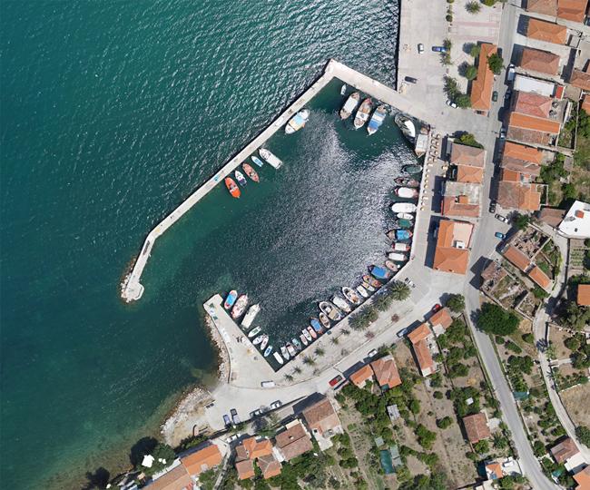
In this context, team uses the benefits of UAVs in surveying and monitoring critical infrastructure. A UASystem equipped with a high-resolution optical sensor for the acquisition of multiple images (RGB digital aerial and oblique images), to fully cover the area of-of the port of Skala Polixnitos.
The Port Authority of Lesvos contracted the MRSGroup to actualize a high-precision survey of the coastal area of the port of Skala Polixnitos. In this project, the team is using all the new technology (drones and high-precision sensors) and scientific knowledge for the production of geospatial data as well as topographic and cartographic derivatives of Skala Polichnitos Port.
More particular, the Port Authority of Lesvos acquires as project deliverables the following:
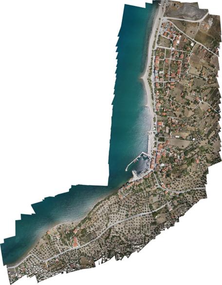
The high-resolution mapping of the existing situation of the port of Skala Polichnitos with the production of orthophoto-maps for two different time periods.